 Recorded demo
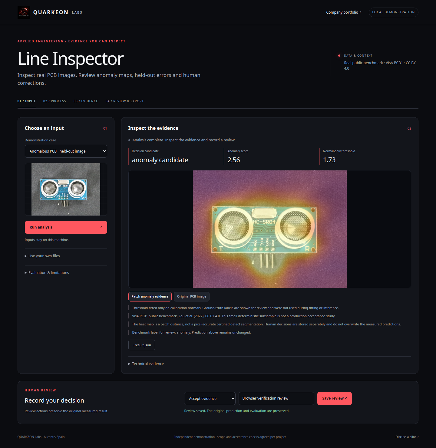
Line Inspector
Inspect real circuit boards and review anomalies and errors.
76 of 80 cases · Real images · VisAHeld-out images correctly classified
Watch the demoVision / Evaluated demonstration
Explore historic architecture, align photographs and navigate a real 3D reconstruction.
Actual recording · Synthetic English narration and captions · Attributed public photographs
THE PROBLEM
THE WORKFLOW
Choose El Pilar, Notre-Dame or the Alhambra; compute new ORB correspondences in the browser, blend aligned views and review candidate differences. Also explore a real COLMAP reconstruction of El Pilar.
RECORDED EVIDENCE
| Check | Cases |
|---|---|
| Registered cameras / modern photos | 40 of 65 |
| Python pairs with recorded alignment | 3 of 3 |
Actual CPU execution on attributed Wikimedia Commons photographs. Median/p95 covers three complete Python SIFT analyses; recorded reconstruction time is 153.34 s. The interactive demo separately times each new ORB computation. Reprojection error measures internal fit, without metric ground truth or independent change annotations.
WHAT WE COULD BUILD WITH YOU
Photographic coverage, calibration, licenses, scale references, comparable surfaces and independent evaluation.
40 of 65 modern photographs registered in the main model: 1,680 sparse points and 0.429 px median reprojection error. Arbitrary scale, without a mesh or metric ground truth. Differences need review; historical localisation was rejected as ambiguous.
Discuss image matching or 3D documentation ↗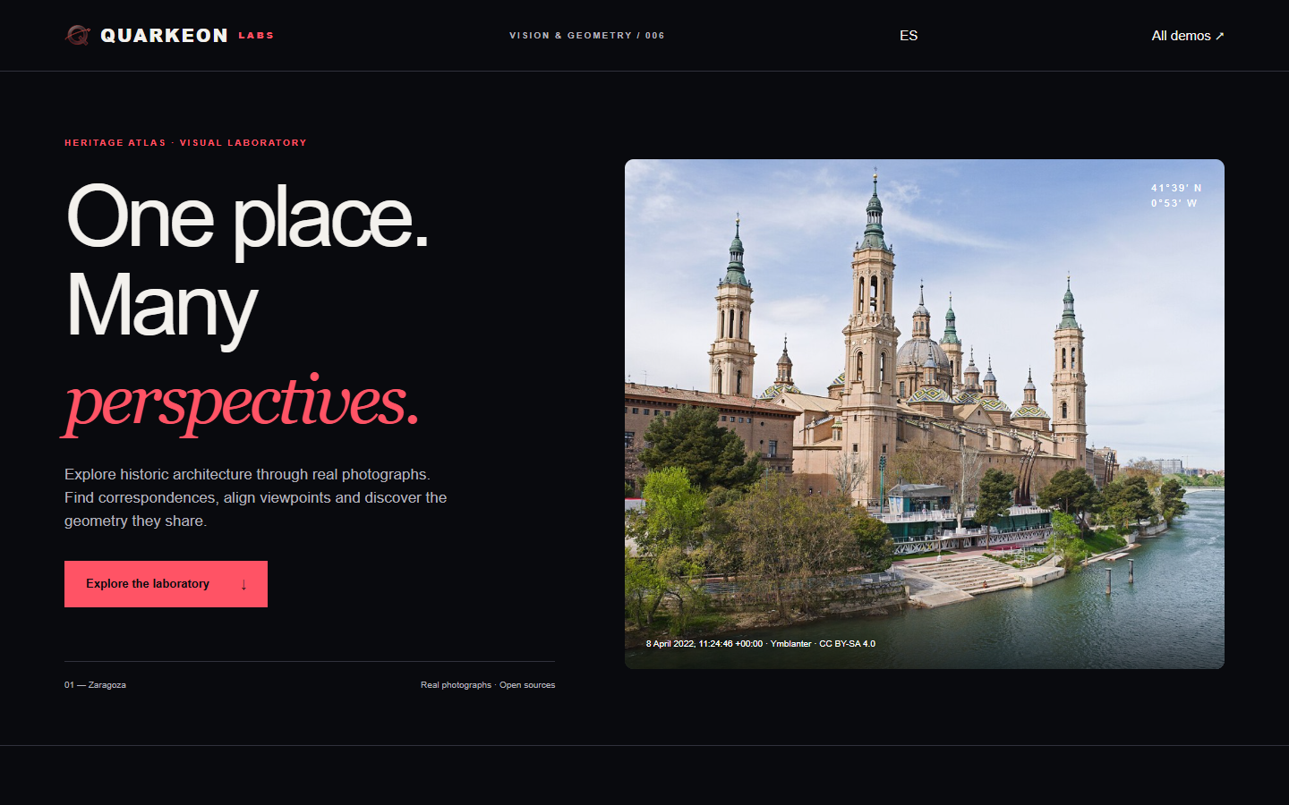 Recorded demo
Inspect real circuit boards and review anomalies and errors.
76 of 80 cases · Real images · VisAHeld-out images correctly classified
Watch the demo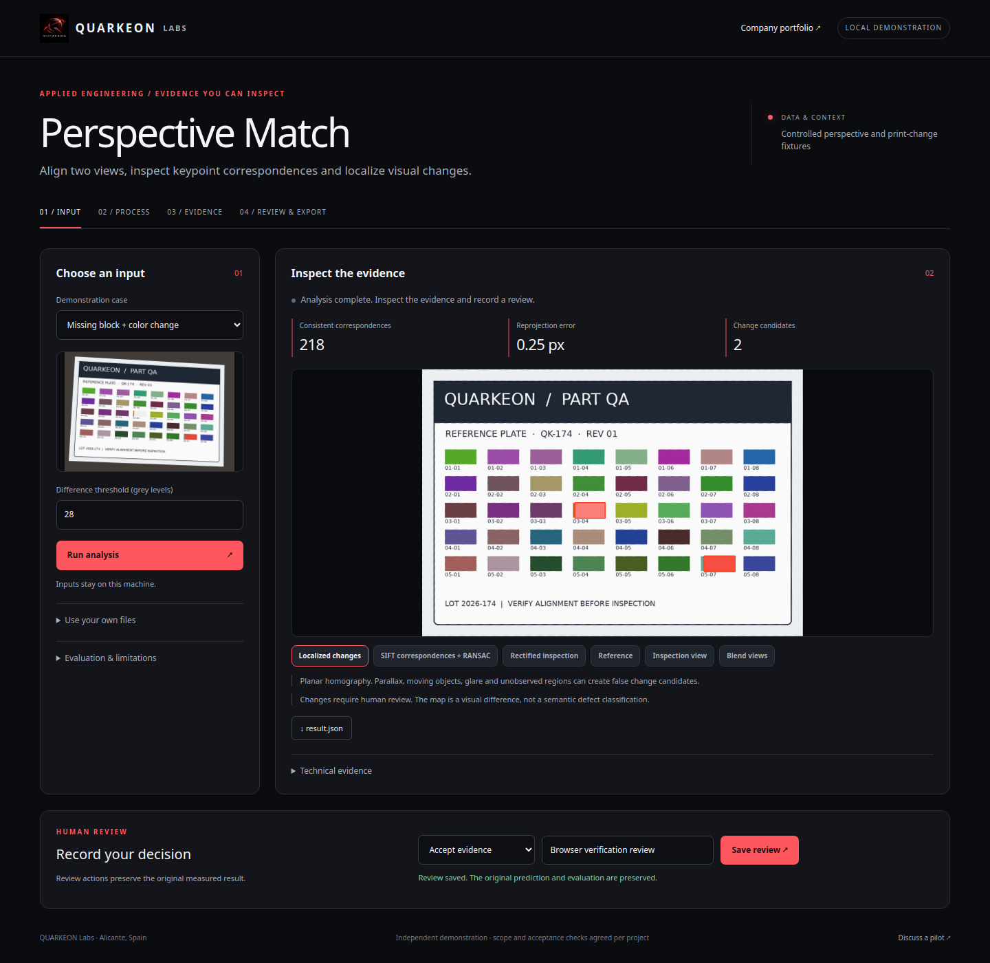 Recorded demo
Align two images and localize visual differences.
12 of 12 cases · Simulated image pairsPairs with corner error below 2 px
Watch the demo